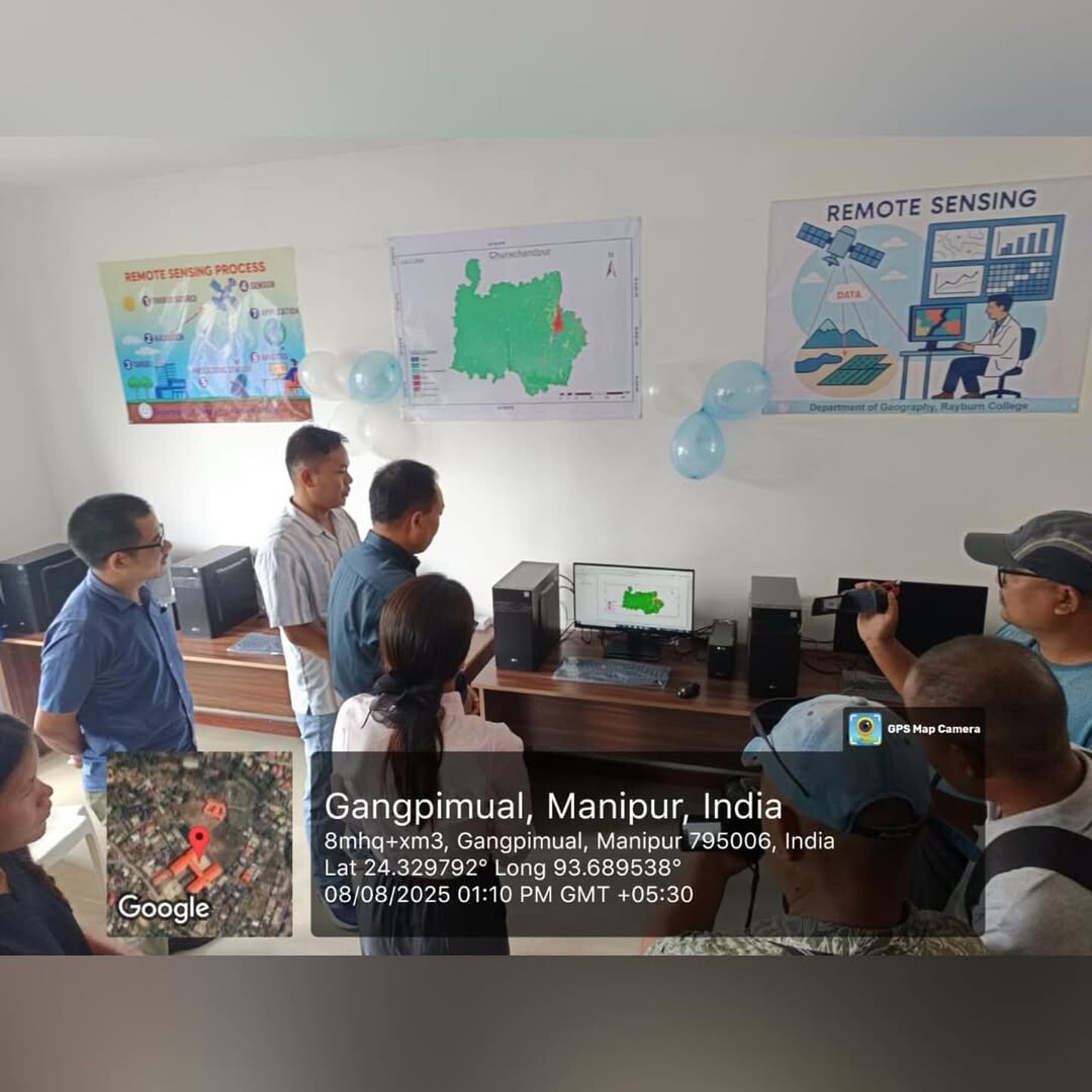
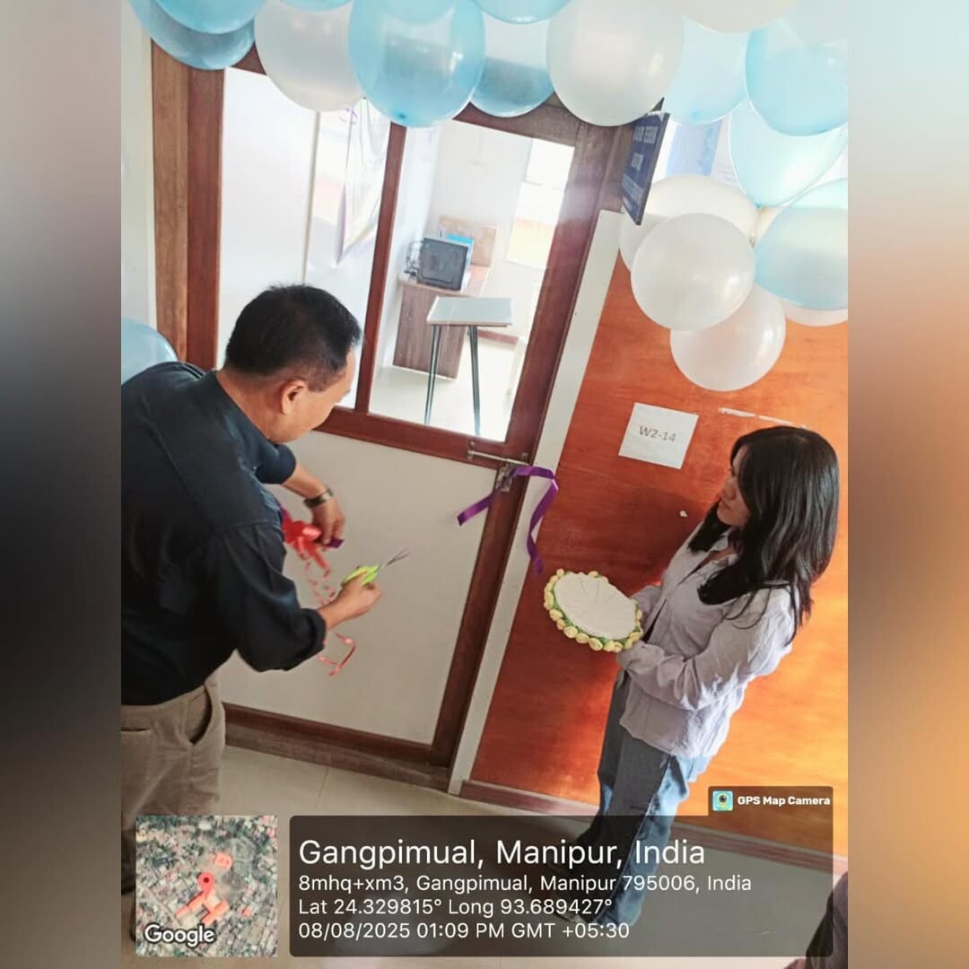
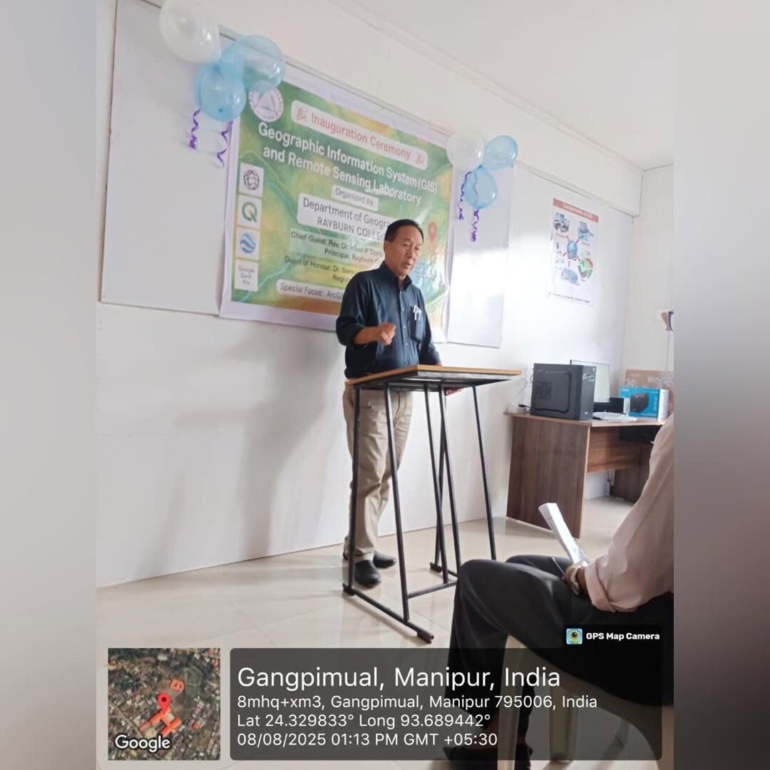
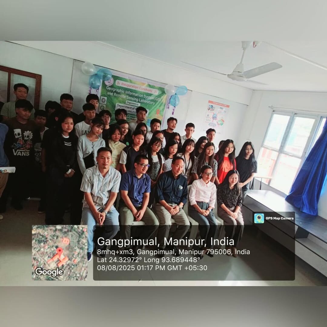
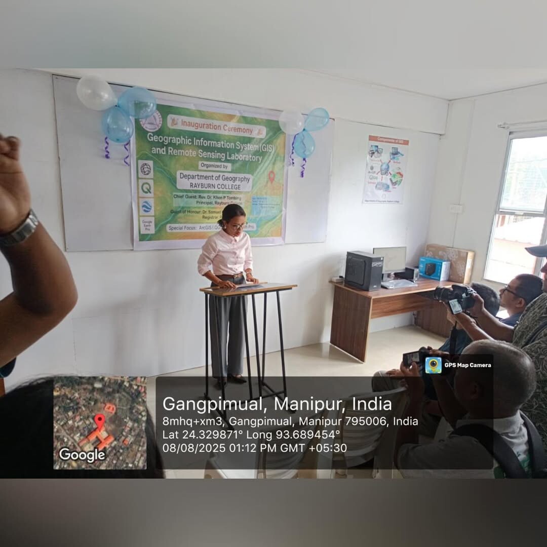
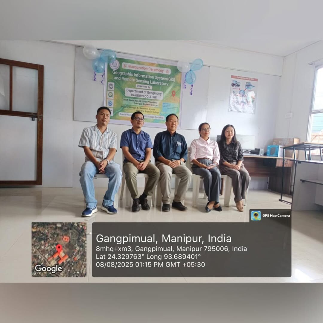
On 8th August 2025, The Dapartment of Geography, Rayburn College, inaugurated the first dedicated GIS & Remote Sensing Lab in Churachandpur District, marking a significant step forward in education and research for the region. It was inaugurated by Rev. Dr. Khen P. Tombing, Principal Rayburn College, whose presence added immense value to the occasion.
The lab is equipped with globally recognized software:
• ArcGIS for advanced spatial analysis and mapping,
• QGIS (open-source and highly customizable), and
• Google Earth Pro for 3D visualization and historical imagery.
These tools will offer students with real-world experience in spatial analysis, digital mapping, and planning.
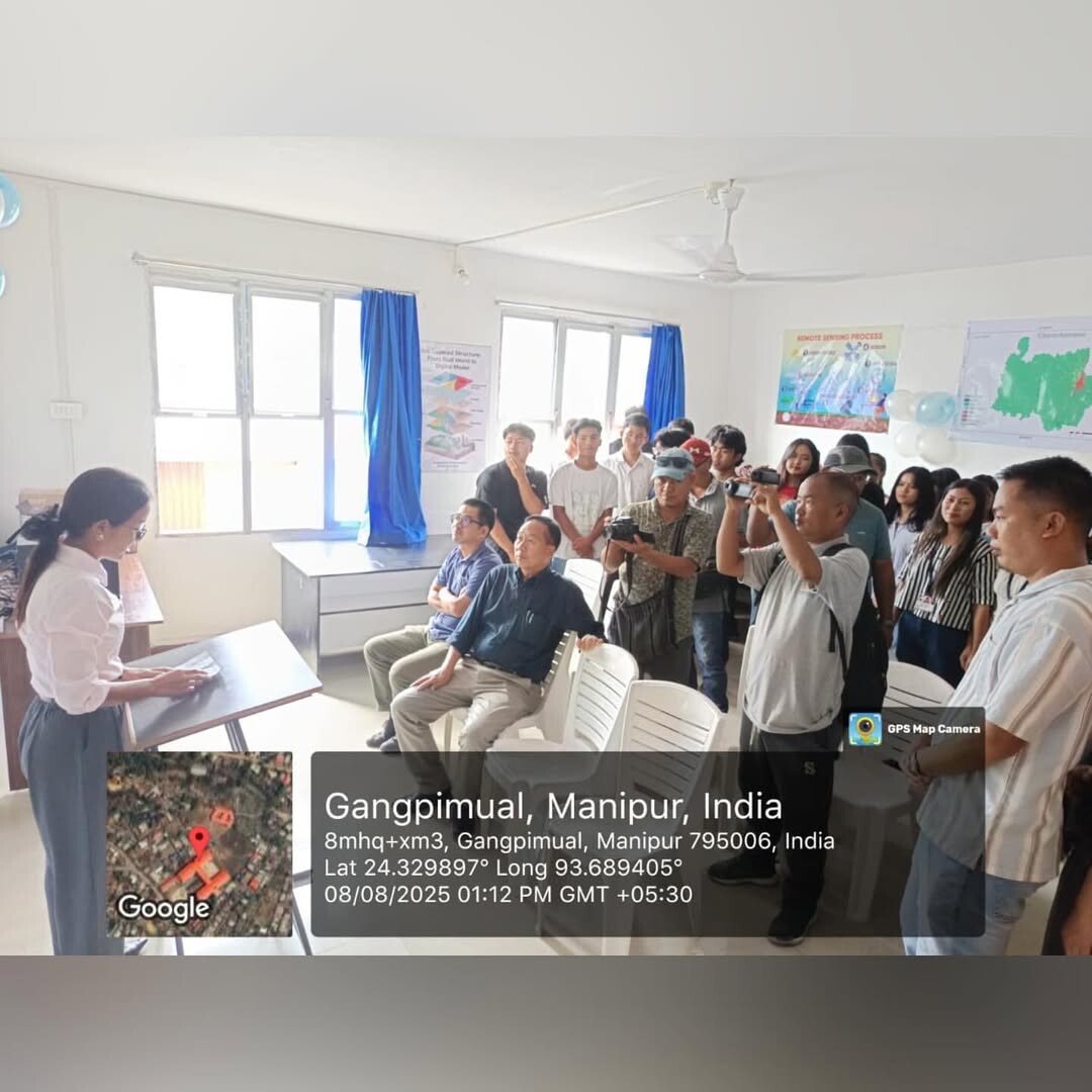
This facility will enhance learning and enable research in key areas such as:
• Disaster risk mapping
• Land use/land cover change
• Soil and agricultural analysis
• Environmental monitoring
• Infrastructure planning
This lab will not only benefit our college but also contribute to research and development across the district.

Rayburn College
BSF Road, Gangpimual
Lamka, Churachandpur
Manipur - 795006, India